 WPB Technology Transparency Portal
DTPR is hosted here by
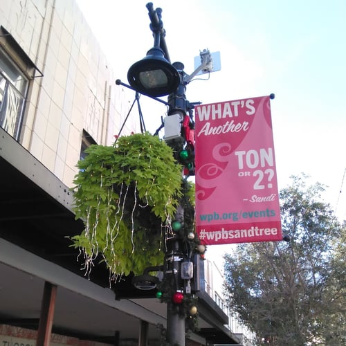
Sensors analyzing how people move along Clematis St

Through the Center for Smart Streetscapes (CS3), the City of West Palm Beach and Florida Atlantic University are making strides towards safer and smarter streets with new technology that can help us create a safer and more inclusive community for all.
The WPB Mobility Intelligence Platform uses sensors to analyze how people move along Clematis Street. By analyzing signals from mobile devices, it anonymously monitors their locations. This helps city officials understand where people go and any issues they encounter while traveling. With this information, the City can improve transportation options and make it easier for everyone to get around.
How does this technology make you feel?
Question 1 / 6